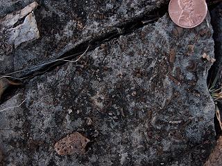
Well, I predicted several months ago that if we ever got hold of a detailed map of the Canelo Hills, we would be making revisions to a few previous trips. I was right. After a few trips in the field with a detailed map, we found a few problems. There were no real serious errors, but a few images we had labled as Late Permian were actually Early Permian. A few images we labeled as Pennsylvanian, were actually Early Permian. A few images we labeled as Late Devonian were actually Mississippian. When it was all said and done, we edited just about every trip to the Sonoita area and the Canelo Hills. Having a map sure makes a difference. I think everything is in order now, but we'll probably do more editing as we make more trips into the area. On the most recent trip to the area, we photographed a few nice Ompalotrochus Gastropods.

We also founds an interesting outcrop in the Mississippian Escabrosa Limestone containing numerous miniature Crinoid Sections which we turned into our lates virtual exploration page.
Happy Trails!
Walt
